Naturpark Nagelfluhkette
A wild and rewarding 3-day hike across the Nagelfluhkette Nature Park, a protected area on the border of Germany and Austria. This route follows the long, rocky ridge of the Nagelfluhkette, crossing rolling meadows, dense forests, and exposed mountain trails. You'll hike over peaks like Steinköpfle, Stuiben, and Hochgrat — the highest point on the route — with constant panoramic views over the Allgäu Alps and deep into the Austrian side. The path links remote alpine pastures and rugged ridges, and you’ll spend nights in simple mountain huts where warm meals and quiet evenings make for a good rest after long days on the trail. This hike is physically demanding, with long stretches of ascent and descent each day. Parts of the trail include narrow ridges, a 20-meter metal ladder, and several cable-secured sections where sure-footedness is essential. Some exposed paths cannot be avoided, so you’ll need to be comfortable with heights and carry water and food for the full ridge day, as there are no huts along the second day's trail. You’ll also need to keep an eye on the weather — these ridgelines are no place to be during a storm. Despite the challenges, the Nagelfluhkette offers a quiet and scenic experience, away from crowded trails. If you enjoy a bit of adventure, mountain views in every direction, and the mix of nature and rustic hut stays, this is a perfect long weekend trip in the Alps.
Hike Details
- Difficulty
- Challenging
- Type
- Circular
- Duration
- 3 days
- Total Distance
- 43.2 km (26.8 mi)
- Elevation Gain
- 2056 m (6745 ft)
Location
- Continent
- Europe
- Country
- Germany
- Region
- Allgäu
- Best Season
- June, July, August
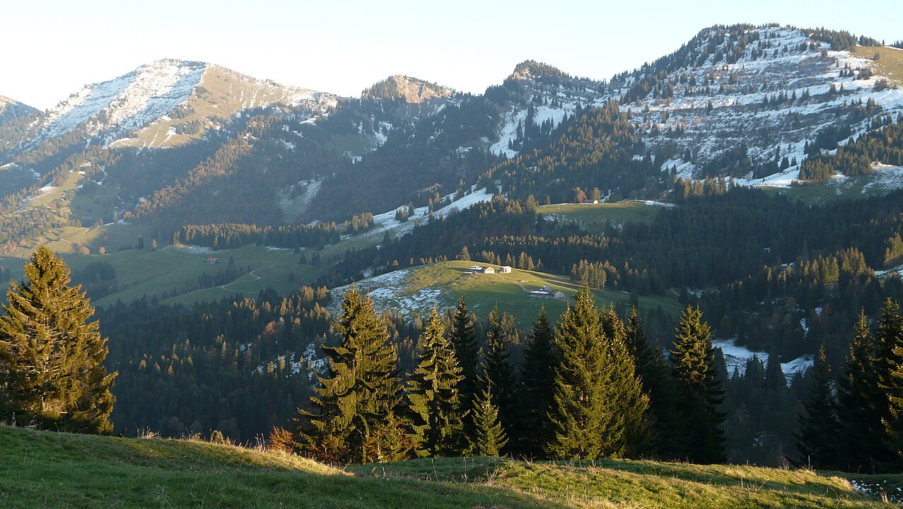
Photo Gallery
Highlights
- Nagelfluhkette ridge trail
- Hochgrat
- Steinköpfle ladder
- Panoramic alpine views
- Alpe Mittelberg overnight
- Staufner Haus hut
- Secured trail sections
Requirements
- Good fitness
- Sure-footedness
- Hiking boots
- Weatherproof clothing
- Hut sleeping bag
- Water and food
- No fear of heights
Route Map
Day by Day
Day 1: Arrival and hike from Hochgratbahn to Alpe Mittelberg
Arrive by car to the Hochgratbahn parking area near Oberstaufen. Hike across rolling ridges (Spitzlerberg, Prodel, Denneberg) to Alpe Mittelberg. Most elevation is gained in the first half. Alternative easier route via Ehrenschwanger Valley. Overnight at Alpe Mittelberg or Kemptener Naturfreundehaus.
Day 2: Traverse of the Nagelfluhkette to Staufner Haus
From Alpe Mittelberg, hike along the full ridge of the Nagelfluhkette. This section includes technical parts: a 20m metal ladder to Steinköpfle, narrow exposed paths, and secured cable sections near Hochgrat. Requires full attention and stable weather. Overnight at Staufner Haus (DAV hut).
Day 3: Hike down from Staufner Haus to the valley
Continue on the ridge to Hochhädrich, then descend into the valley. This long descent includes a steep section at Hochhädrich. Easier alternatives exist: via Eineguntkopf (8.5 km), Seelenkopf (5 km), or a direct descent (4.8 km).
Sleeping Options
How to Get There
Download GPX Track
Download the GPX track for this hike to use with your GPS device or hiking app.